
Home / Blog
BlogGuides for drone survey teams
Short, practical explanations from the people who fly, process and deliver the data.
 Planning
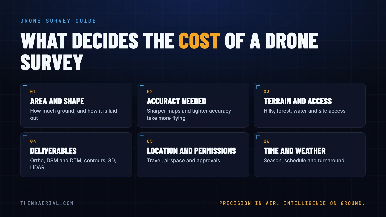
Drone survey cost in India: what decides the price
What drives the cost of a drone survey in India: area, accuracy, terrain, deliverables, permissions and weather. Plus what to send to get an accurate quote.
19 Nov 2026 · 5 min readProjectsDrone corridor mapping for railways and highways
How drones map long, narrow routes such as railways and highways: planning, flying, processing and delivering the data.
18 Nov 2026 · 5 min readSoftwareHow to add GPS coordinates and chainage to drone video
Survey and project teams often need coordinates or chainage burned onto drone video. Here is how it works and how to do it without a video editor.
18 Nov 2026 · 4 min readGuidesGSD explained: how sharp should your drone map be?
Ground sampling distance (GSD) is the real-world size of one pixel in a drone map. Learn the formula and how flying height changes it.
18 Nov 2026 · 4 min readGuidesOrthomosaic vs DSM vs DTM: what is the difference?
Three outputs of a drone survey, three different jobs. Learn what an orthomosaic, a DSM and a DTM are and which one you need.
18 Nov 2026 · 4 min readGuidesWhat is photogrammetry? A plain-English guide
Photogrammetry turns overlapping photos into measurable maps and 3D models. Here is how it works, what you get, and when to use it.
18 Nov 2026 · 5 min readGuidesLiDAR vs photogrammetry: which one do you need?
Drone LiDAR and photogrammetry both make maps and 3D models, but they see differently. Here is how to choose for your site.
18 Nov 2026 · 5 min readSee it live in a quick call
Tell us what you do. We will show you the products and hardware that fit, on a short video call.
Book a quick call Chat on WhatsApp