
Deliver · Web
Your drone survey, live in a browser.
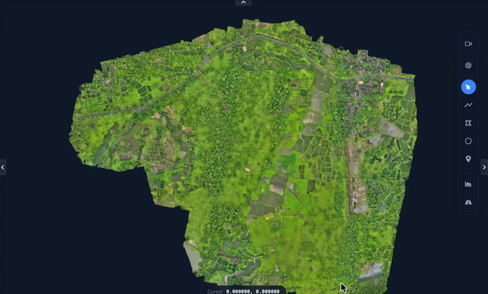
Turn orthophotos, DSM/DTM, point clouds, video and 360° imagery into one shareable workspace. Clients open a link instead of receiving a folder of files.
What it does
Features
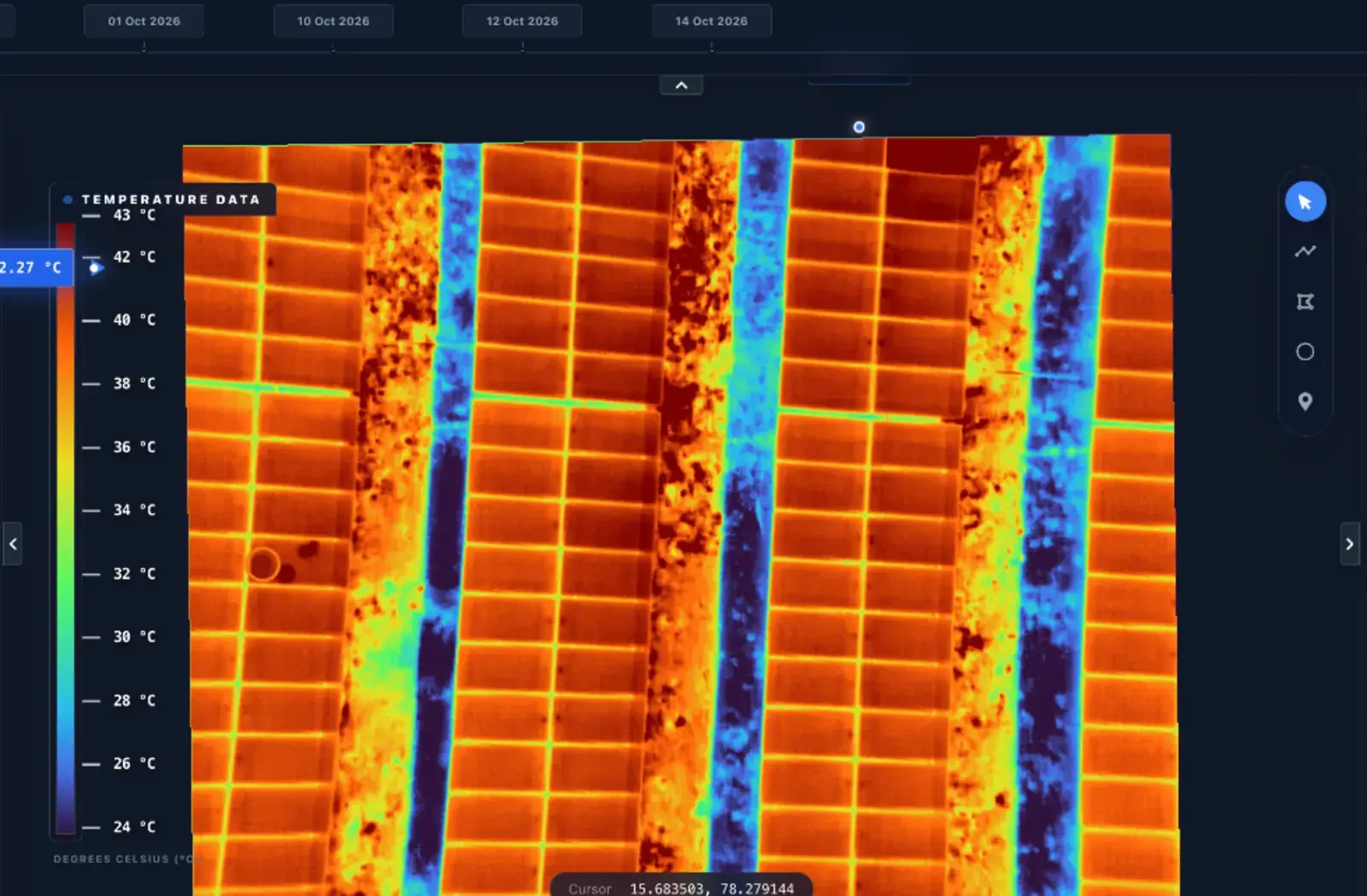
- Multi-GB orthophotos, DSM/DTM and thermal rasters streamed in the browser
- 3D point clouds with cut and fill volumes
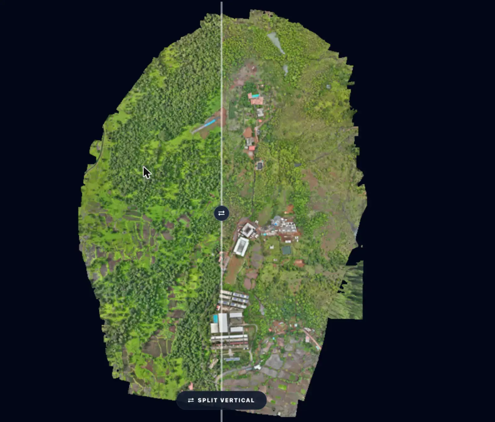
- Compare Mode: swipe or side by side across survey dates
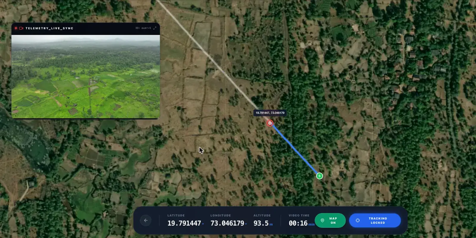
- Video-mapped GIS: scrub the drone video and watch the position move on the map
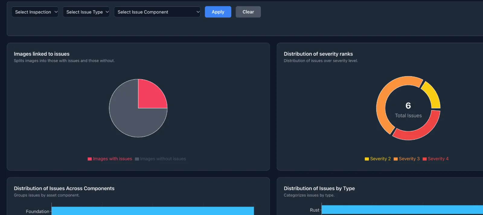
- Inspection module with polygon defects, PDF reports and a client-visible switch
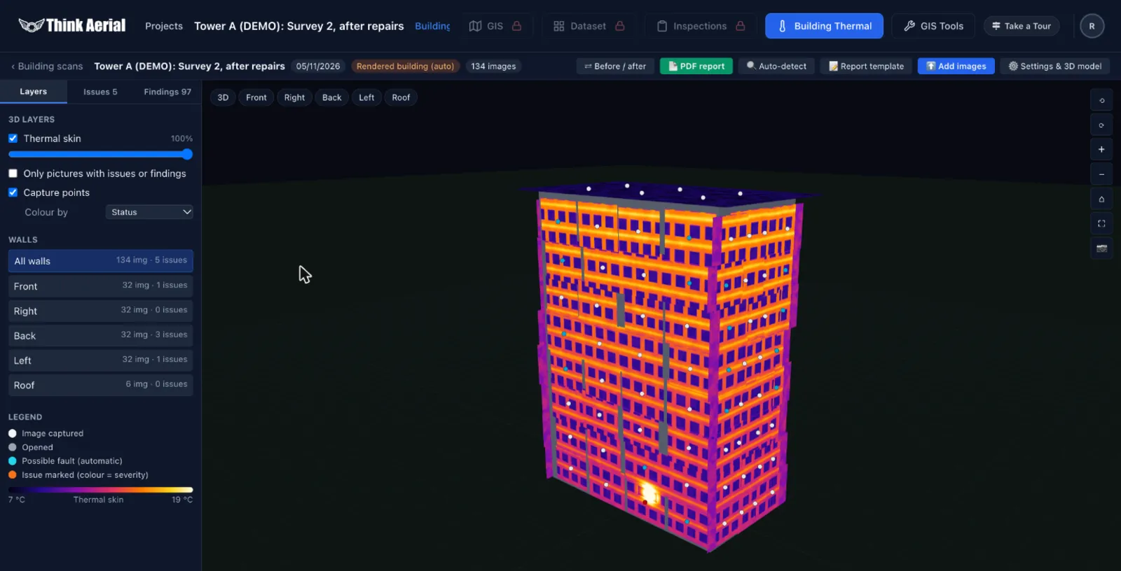
- Building Thermal 3D with before/after fault tracking
- Measure, annotate, elevation profiles and cross-sections
- Import and export KML, SHP, DXF, DWG, GPKG, GeoJSON
- Public share links, 360° panoramas and photo albums
Who it is for
Built for
Construction, infrastructure, real estate, mining and government teams.
The problem it solves
Raw data dumps, no progress visibility and slow reporting.
Watch
See WebGIS working

Automated inspection PDF reports

Drone video and live telemetry on the map

Elevation heatmaps and base layers

360° aerial panoramas
More software
Works with the rest of the pipeline
Next step
See WebGIS live
Tell us what you do. We will show you the products and hardware that fit, on a short video call.
Book a quick call Chat on WhatsApp