
Quality Control · Windows + Web
Catch bad coverage before you leave the field.
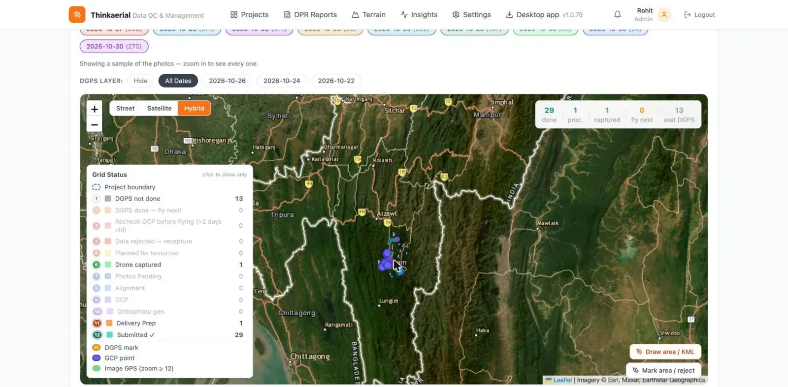
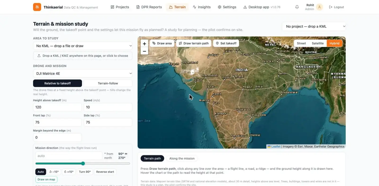
Checks survey flights against your SOP for overlap, GSD, gaps and missing photos, and produces daily progress reports. A Windows pilot app and a manager web portal.
What it does
Features
- Import KML/KMZ boundaries and DGPS/GCP files
- SOP checks for front and side overlap and flying height
- Photo dots coloured pass or fail with preview
- Flight path, battery-break markers, coverage and gap polygons, GSD heatmap
- Flags photos that are not geotagged or corrupted
- Daily progress report automation with review and lock
- Photos are checked locally on the pilot computer
Who it is for
Built for
Drone survey companies.
The problem it solves
Finding gaps after the team has left site, which means expensive re-flights.
More software
Works with the rest of the pipeline
Next step
See TAQC live
Tell us what you do. We will show you the products and hardware that fit, on a short video call.
Book a quick call Chat on WhatsApp