
Plan & fly · Android + Web
One app to plan, fly and monitor.
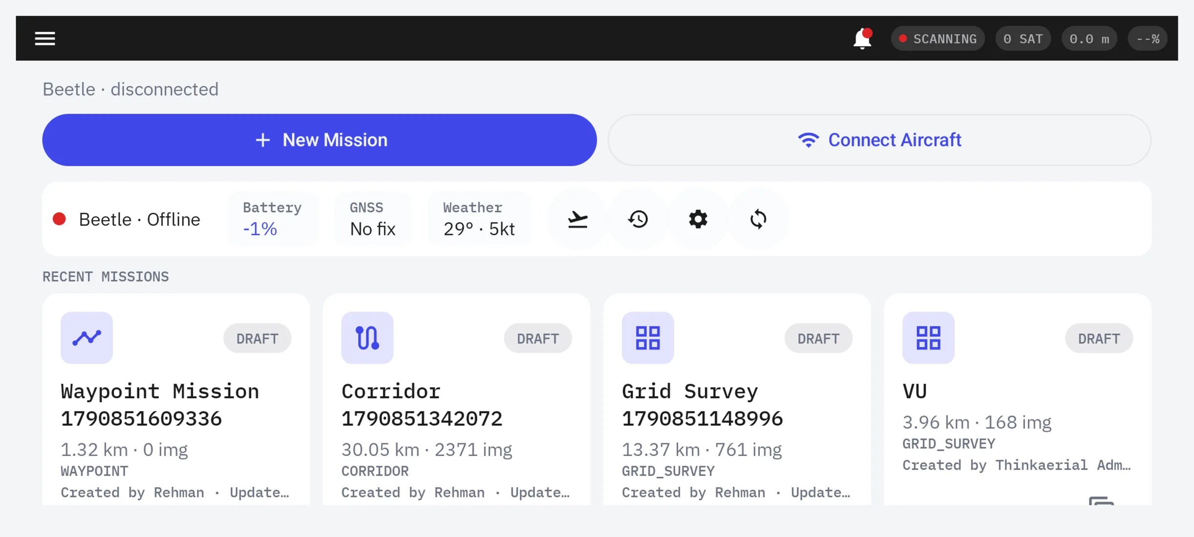
Our own ground control station for ArduPilot and PX4 drones. A native Android app plus a web portal for planning and fleet management.
What it does
Features
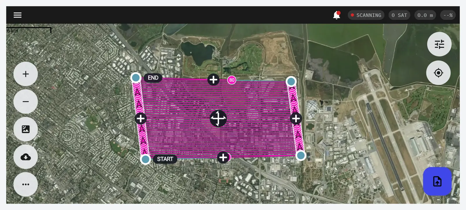
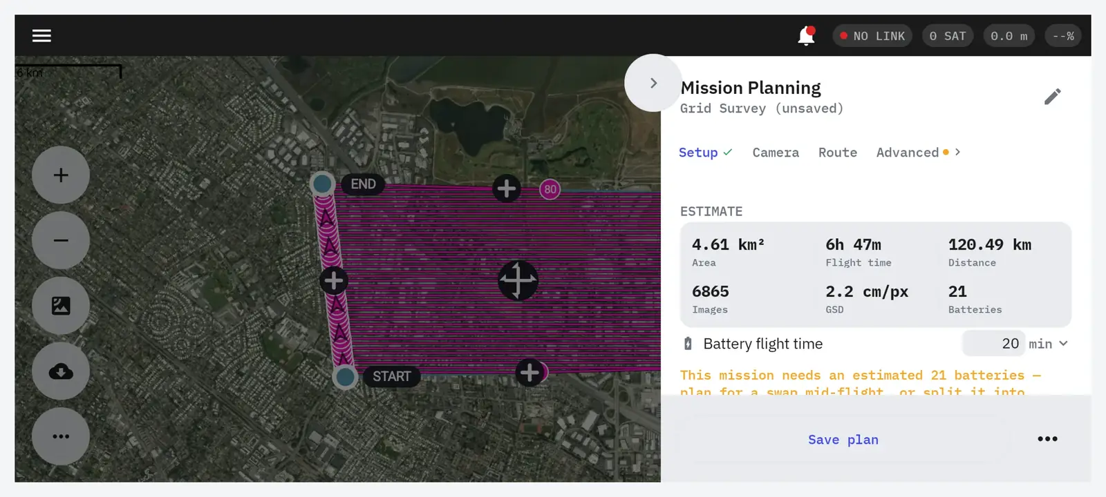
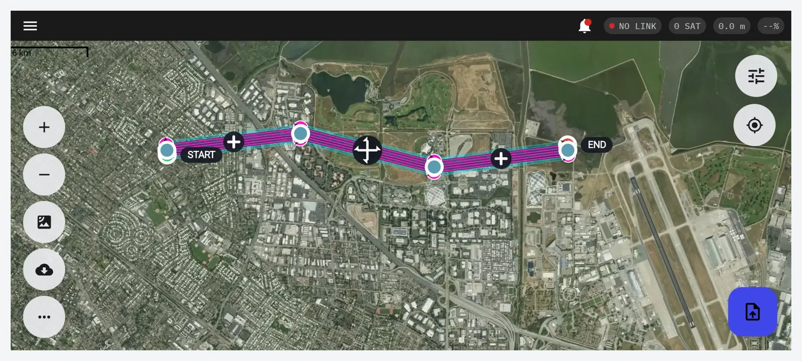
- Grid, corridor, waypoint, orbit and 3D capture missions
- Terrain-follow altitude planning
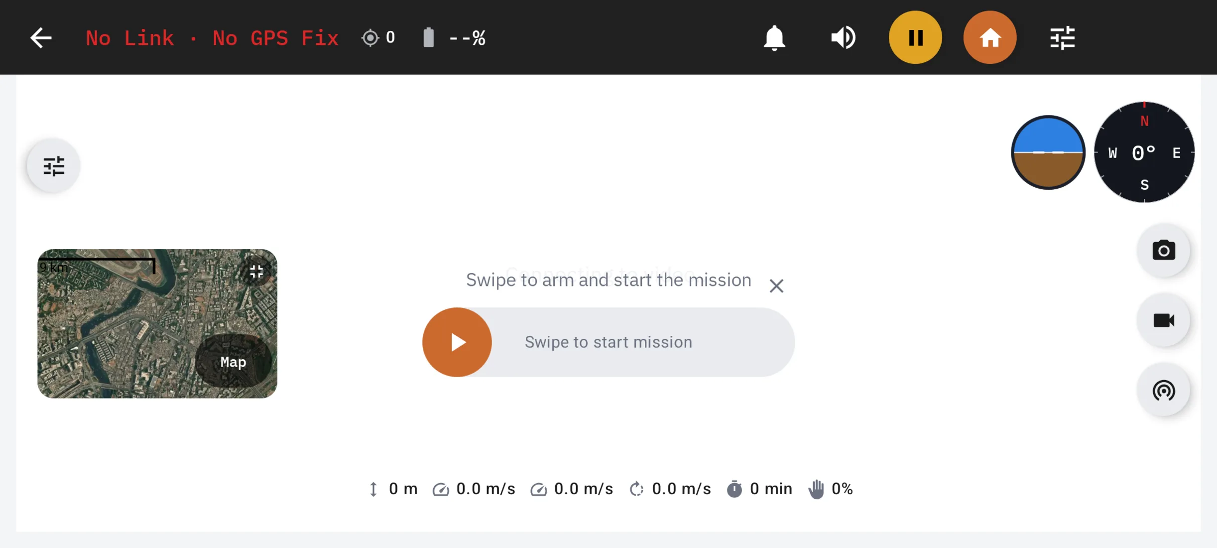
- Live flight HUD with map-first view and video picture-in-picture
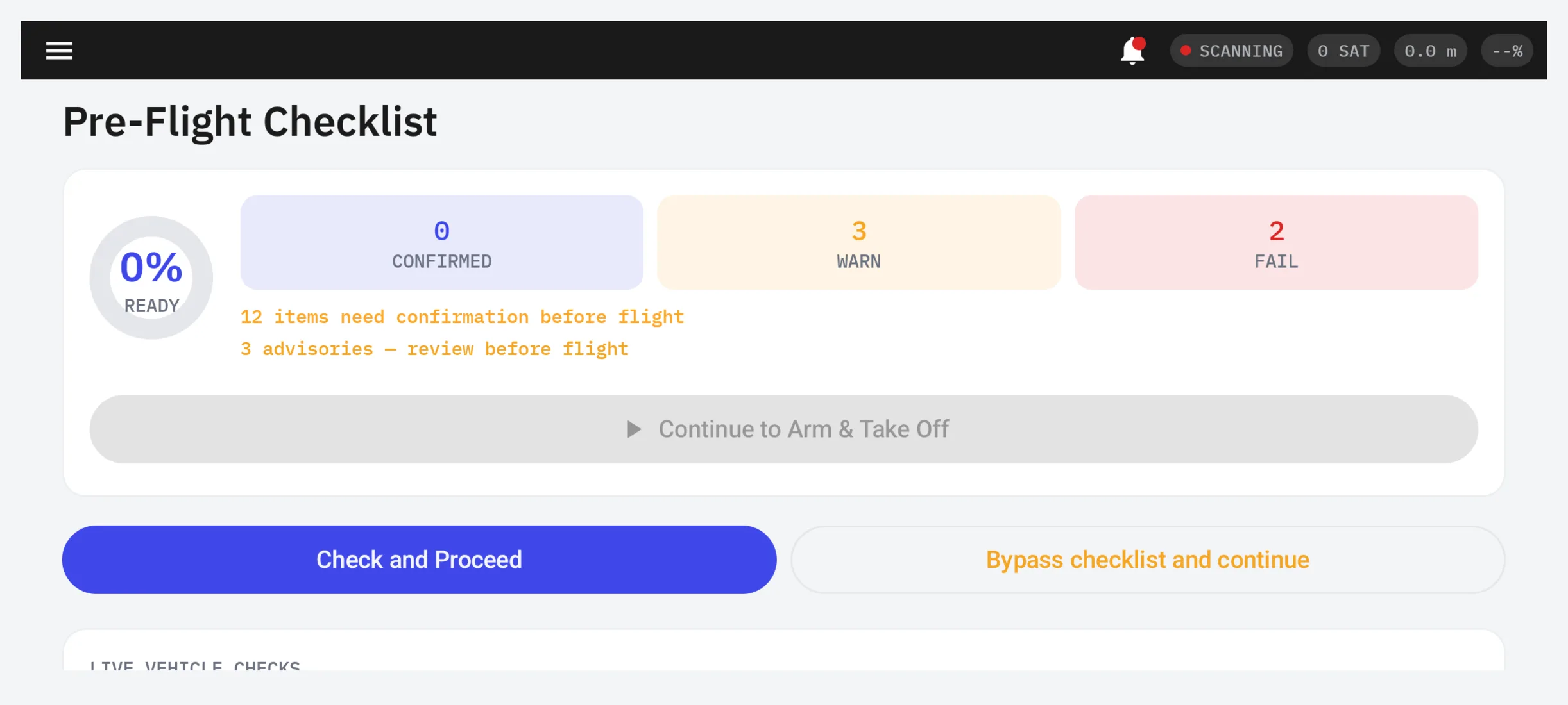
- Pre-flight digital checklist and mission simulator
- Offline-capable maps and KML/KMZ import
- Works with SIYI and Skydroid radios over USB or network
- Aircraft, battery and flight-log fleet management
- Failsafe, geofence and battery parameter panels
Who it is for
Built for
Survey and mapping pilots and teams on ArduPilot or PX4.
The problem it solves
Generic hobby apps that are not built for survey workflows.
More software
Works with the rest of the pipeline
Next step
See TAFLY live
Tell us what you do. We will show you the products and hardware that fit, on a short video call.
Book a quick call Chat on WhatsApp