
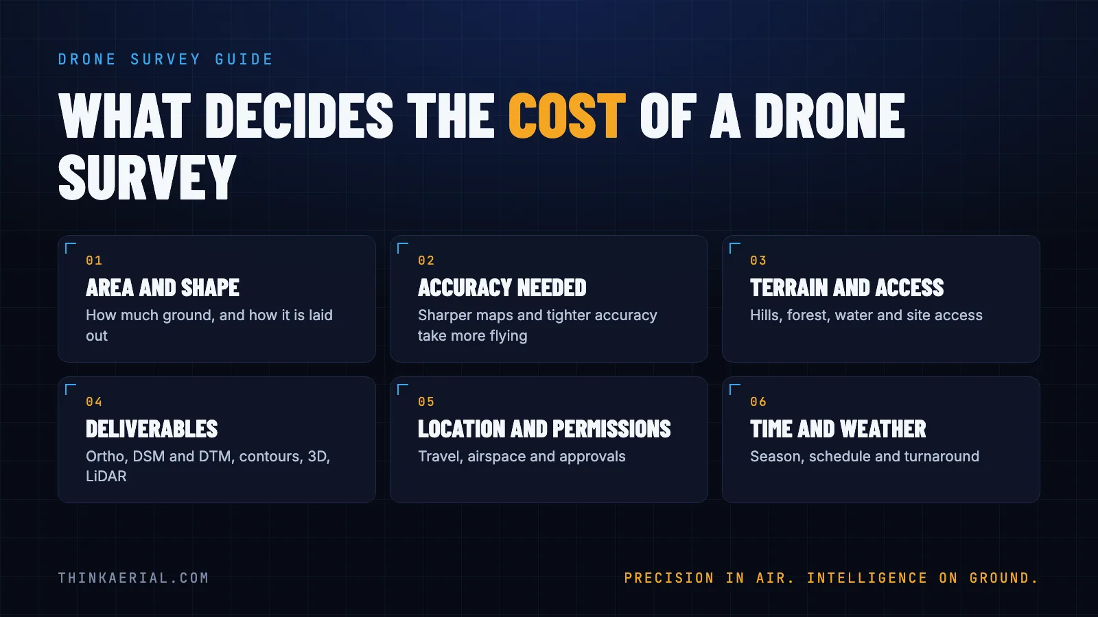
There is no single price for a drone survey, because two jobs that look alike on paper can need very different amounts of flying, field work and processing. This guide explains what drives the cost in India so you can compare quotes fairly and ask for the right things.
1. Area and shape of the site
The bigger the area, the more flight time and processing it needs. Shape matters too. A compact block is efficient to fly. A long, thin corridor such as a railway line, highway or canal needs more planning and often more field time per square kilometre. Quotes are commonly given per area, per kilometre of corridor, or per day, so ask which one a quote uses before comparing.
2. Accuracy and map sharpness
Sharper maps and tighter accuracy take more work: lower flying, more images, more ground control and more careful processing. Decide what you really need. A planning map and a map used for engineering design are not the same job. Our guide to GSD explains map sharpness, and our free GSD calculator shows how flying height changes it.
3. Terrain and access
Hills, dense forest, water, built-up areas and difficult road access all add time. Steep ground may need terrain-following flights so the drone keeps a steady height above the ground. Remote sites add travel and logistics.
4. What you want delivered
The outputs change the effort a lot:
- Photos and video need the least processing.
- Orthomosaic maps, surface models (DSM) and terrain models (DTM) need photogrammetry processing. See orthomosaic vs DSM vs DTM.
- Contours, 3D models and volumes add further processing and checking.
- LiDAR is used where vegetation or accuracy needs call for it. See LiDAR vs photogrammetry.
Ask for only what you will use. Extra outputs mean extra cost.
5. Location and permissions
Where the site is affects travel, accommodation and local conditions. Drone flying in India follows DGCA rules and airspace zones, and some areas need additional approvals, for example near airports, borders or sensitive sites. A licensed drone service company plans this for you. Allow time for it in your schedule.
6. Time, weather and turnaround
Flying depends on wind, rain, light and season. A tight deadline can mean more people and more equipment on site. Ongoing work such as monthly progress monitoring is usually planned differently from a one-time survey.
How to get an accurate quote
Send these and a reputable company can quote for your actual job:
- The site boundary as a KML or KMZ file (draw it in Google Earth).
- The outputs you need, for example an orthomosaic, contours or a 3D model.
- The accuracy or sharpness required, or what the map will be used for.
- Your deadline and whether the work repeats.
- Site access limits, such as restricted areas or entry permissions.
What to check when comparing quotes
- Are they quoting the same deliverables and the same accuracy?
- Do the pilots hold the required licences? Our pilots are RPTO-licensed.
- Is processing included, and in what format will you receive the data?
- Will you get a web link to view and measure the results, or only files?
- Can they show similar past work? See our case studies.
If you tell us your site and what you need, we will come back with a clear plan. Read more about our GIS mapping and survey and photogrammetry services.